Here’s a Newer PDF version of our trail map.
Here’s the older PDF version of our trail map.
For an online version of our map, try:
https://www.openstreetmap.org/#map=16/42.9717/-76.3898
See our new all-time wildlife observation list at: iNaturalist.org
You can also see our Facebook page.

There are currently three geographically separate municipal conservation areas located in the Town of Skaneateles in Onondaga County, New York:
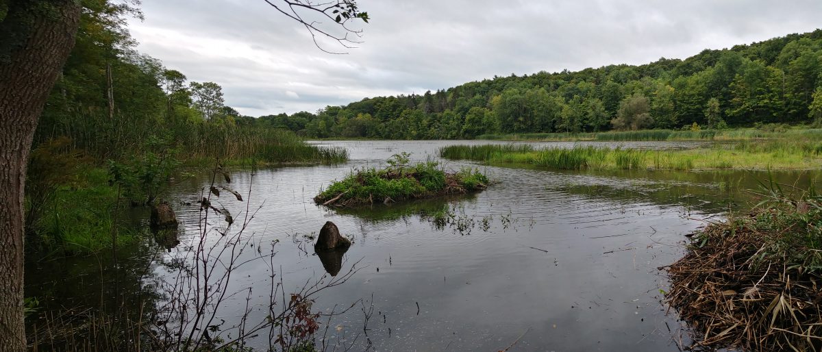
1. The Skaneateles Conservation Area, including the Federal Farm, Guppy Farm, and other Gully Road parcels, located on Old Seneca Turnpike (surrounding the Town of Skaneateles transfer station) and on both sides of Gully Road, in the northeastern part of the town, contains about 300 acres of land, much of it wooded, a fishing pond, a beaver pond, wetlands, waterfall, observation decks, pavilion, picnic tables, and lean-to for camping (by permission only).
2. The Mabel M. Reynolds Nature Preserve, on both sides of Benson Road, at Reynolds Road, in the southwest part of the town contains about 123 acres of woodland.
3. The Dunning tract, behind Grace Chapel on the south side of US Rt. 20 at its intersection with NY Rt. 175 (Lee Mulroy Rd.), contains about 90 acres of land, about one third of it wooded. Most of the wooded portion is also a wetland. The remaining fields are leased for agricultural purposes. It no longer has road frontage, so access is through the Grace Chapel parking lot.
