
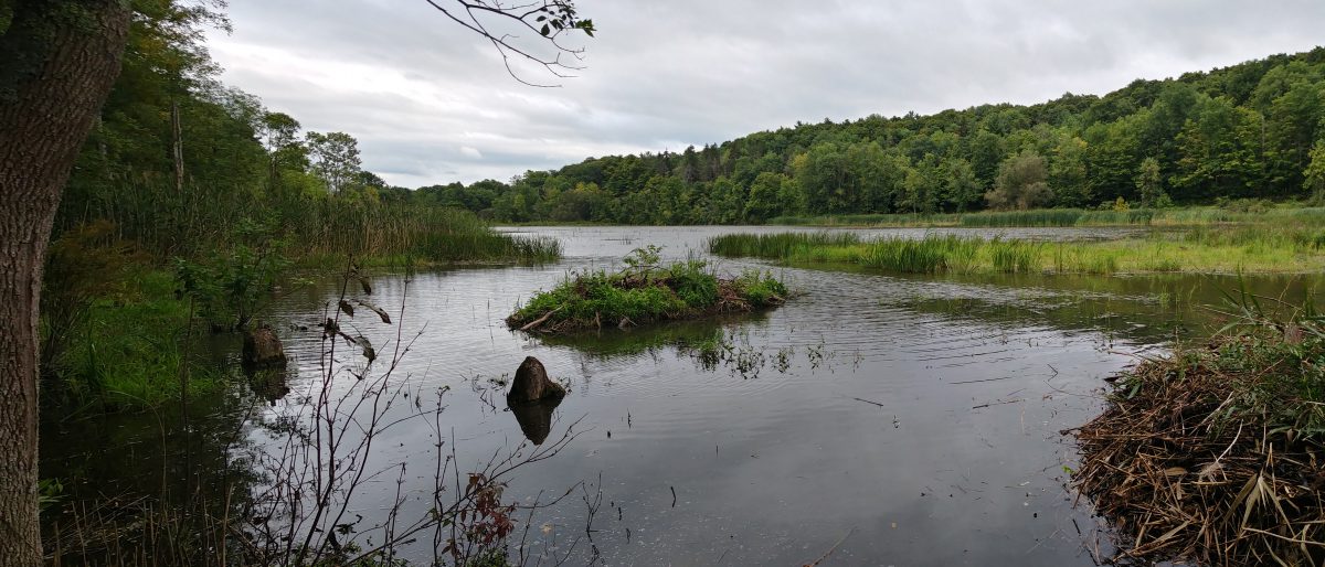

The red elipses show approximate Phrag locations. The blue elipse shows sbout where the dam breach is. The yellow dashed line is about where the SCA/Cargile property line crosses the wetland. Lower part of image is southeast and Cargile property. Above line northwest and town property.
